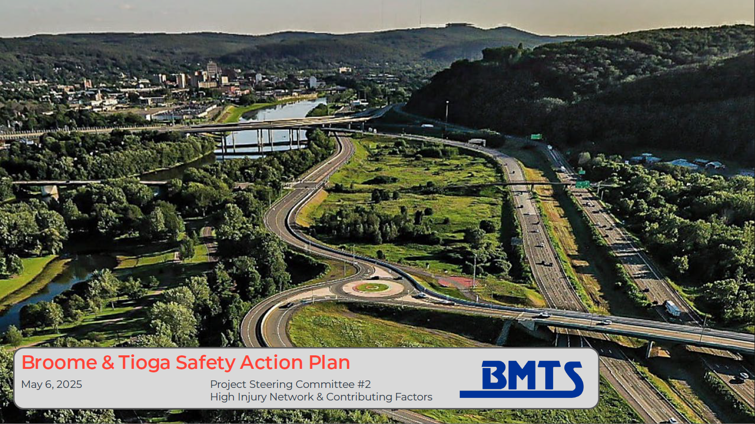
BMTS safety ACTION plan
Safe Streets Survey - Tell us what matters to you about road safety – take the survey now!
Mark our Map! - BMTS has developed an online interactive map to capture feedback about transportation safety concerns. Please click the link below to identify locations in Broome and Tioga Counties where you have safety concerns and share your ideas for improvements.
Plan Introduction and Background
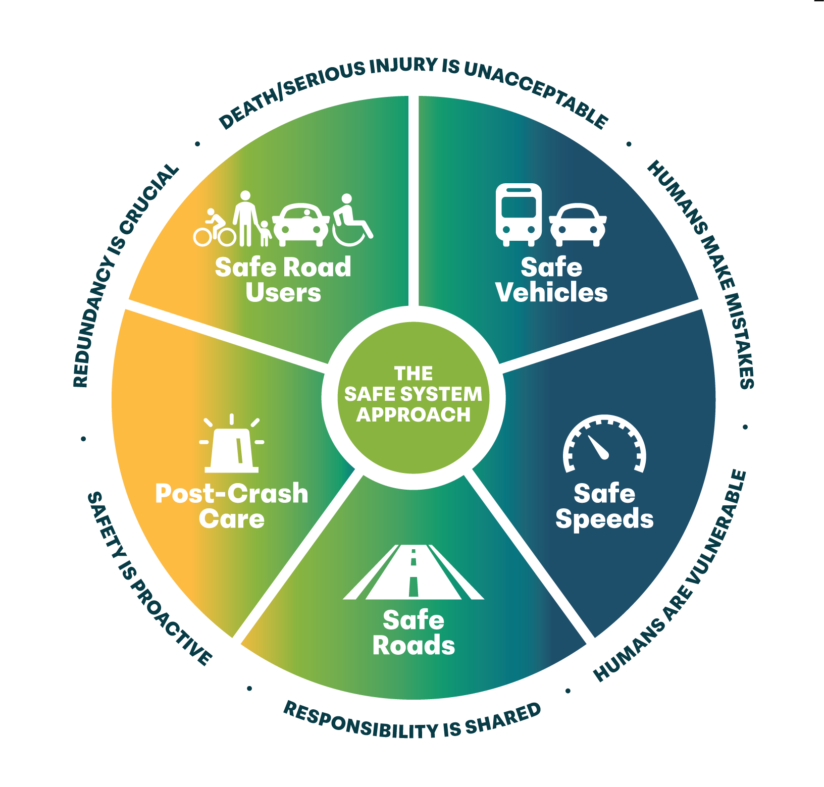
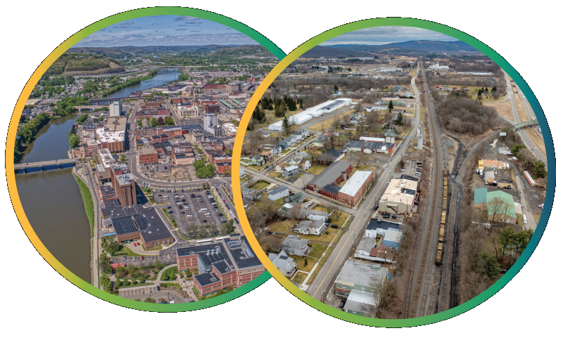
BMTS is developing a Comprehensive Safety Action Plan for Broome and Tioga Counties. The Safety Action Plan is funded through a grant awarded by the U.S. Department of Transportation’s Safe Streets and Roads for All (SS4A) program. The goal of the SS4A program is to prevent traffic deaths and serious injuries on roads, streets, and highways by following the Safe System Approach. The Safety Action Plan will identify the most significant roadway safety concerns in Broome and Tioga Counties, and include strategies and proposed projects based on what was learned from recent data trends and the community.
Project Purpose and Goals
The purpose of this project is to create a Safety Action Plan that best fits Binghamton and Tioga Counties and includes implementational measures to help reach the goal of zero roadway deaths. The goals of the project are:

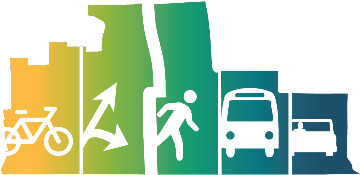
Develop a Safety Action Plan to improve roadway safety and reduce fatalities and serious injuries, with a focus on users of all ages and all abilities, including pedestrians, bicyclists, transit users, motorists, micro-mobility users & commercial operators.


Create a comprehensive set of projects, policies, and strategies through a data-driven process, with meaningful stakeholder and public engagement.


To consider safety factors and equitable investment in the safety needs of underserved communities and transportation equity.


Develop tools and methodologies to track and document progress in future years.
Project Updates
Interactive Map
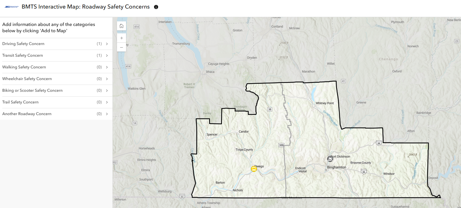
The Project Team is currently collecting data regarding safety concerns of various road user types to help inform the development of the Safety Action Plan. By clicking the link below, you will be redirected to a map that can be used to identify areas of safety concern.
BMTS has developed an online interactive map to capture feedback about transportation safety concerns. Please click the link below to identify locations in Broome and Tioga Counties where you have safety concerns and share your ideas for improvements. Please identify locations in Broome and Tioga Counties where you have safety concerns by adding a point to the map along with a comment describing the concern. We invite you to identify as many locations as you like. Your feedback will complement data on fatal and serious injury crashes to help identify and prioritize opportunities for safety improvements.